GEO5
We are distributors for UK and IRELAND
Outputs


Definition of Output Protocols
All programs automatically create clear and concise output which contains all input data, intermediate results, and final verifications. In the case of linking multiple programs, the output document contains all parts or user selected parts.
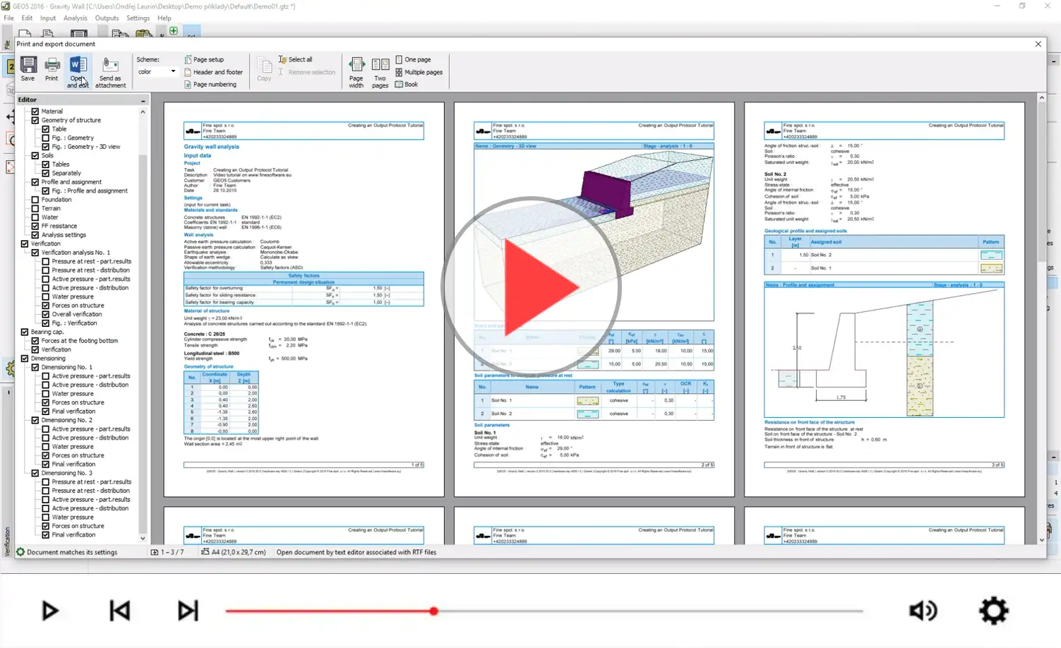
Creating an Output Report
Adding Pictures, Attachments, Annexes
The output may contain an unlimited number of pictures. These are arranged on a tree control according to where the image was taken in the program.
The documentation can also include any attachments; i.e. photos, PDFs, etc. This means that the user can store the complete project documentation in a single location.
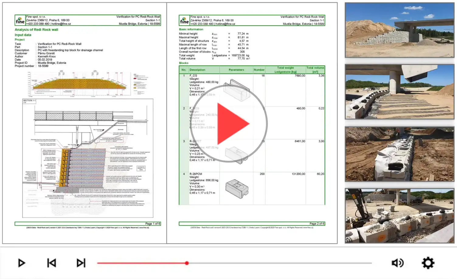
Introducing the Annexes feature
PDF/MS Word Exports
Documents can be printed directly, exported as PDF documents or opened in MS Word for further editing.
Annotation mode
Pictures can contain various graphic data; i.e. dimensions, hatches, fills, and/or user specified annotations. Annotations are created in a graphic editor within the program which allows additional items such as text and lines to the displayed drawing.
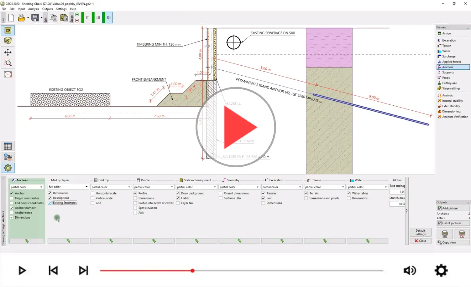
Introducing the Annotations feature